
8 hr
Rainforest Discovery & Coastal Pools Day Tour
Journey through laurel forests, volcanic pools, and organic farms in Gran Canaria's green heartland
Reserve
Hand-picked by our editors — only the best 5 experiences from 18 reviewed.
Verified partners for every tour, free cancellation where available, and instant confirmation on every booking.
8 hr
Journey through laurel forests, volcanic pools, and organic farms in Gran Canaria's green heartland
Reserve
7 hr
Journey through ancient laurel woodlands and lush gorges in Gran Canaria's pristine northern wilderness
Reserve
7 hr 30 min
Explore ancient caves, sweeping dunes, and a coastal village dubbed the Venice of the South
ReservePrices from verified partners. Availability updates in real time at checkout. Free cancellation policies apply where shown.
The landmarks, rooms, and views travelers on this tour remember — all visible on a single visit.
It provides detailed maps of the 1.8-kilometer circular loop and showcases exhibits detailing local wildlife. Since the 1980s, it has coordinated local reforestation efforts.
Trapping mist at altitudes between 500 and 800 meters, this steep valley holds the majority of the remaining 91 hectares of laurel forest. The humid microclimate preserves flora from the Tertiary period.
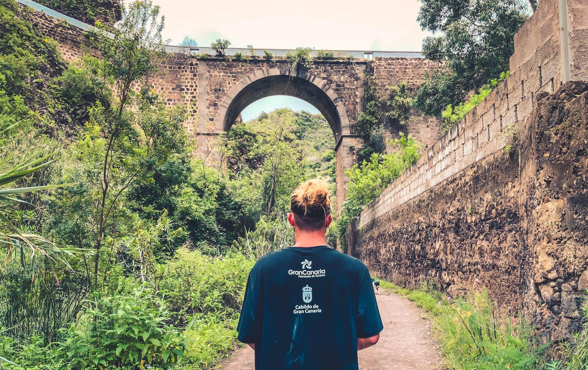
These hand-carved stone aqueducts carry water downhill along the trail. Some of these structures date back over 100 years and continue to supply regional farms.
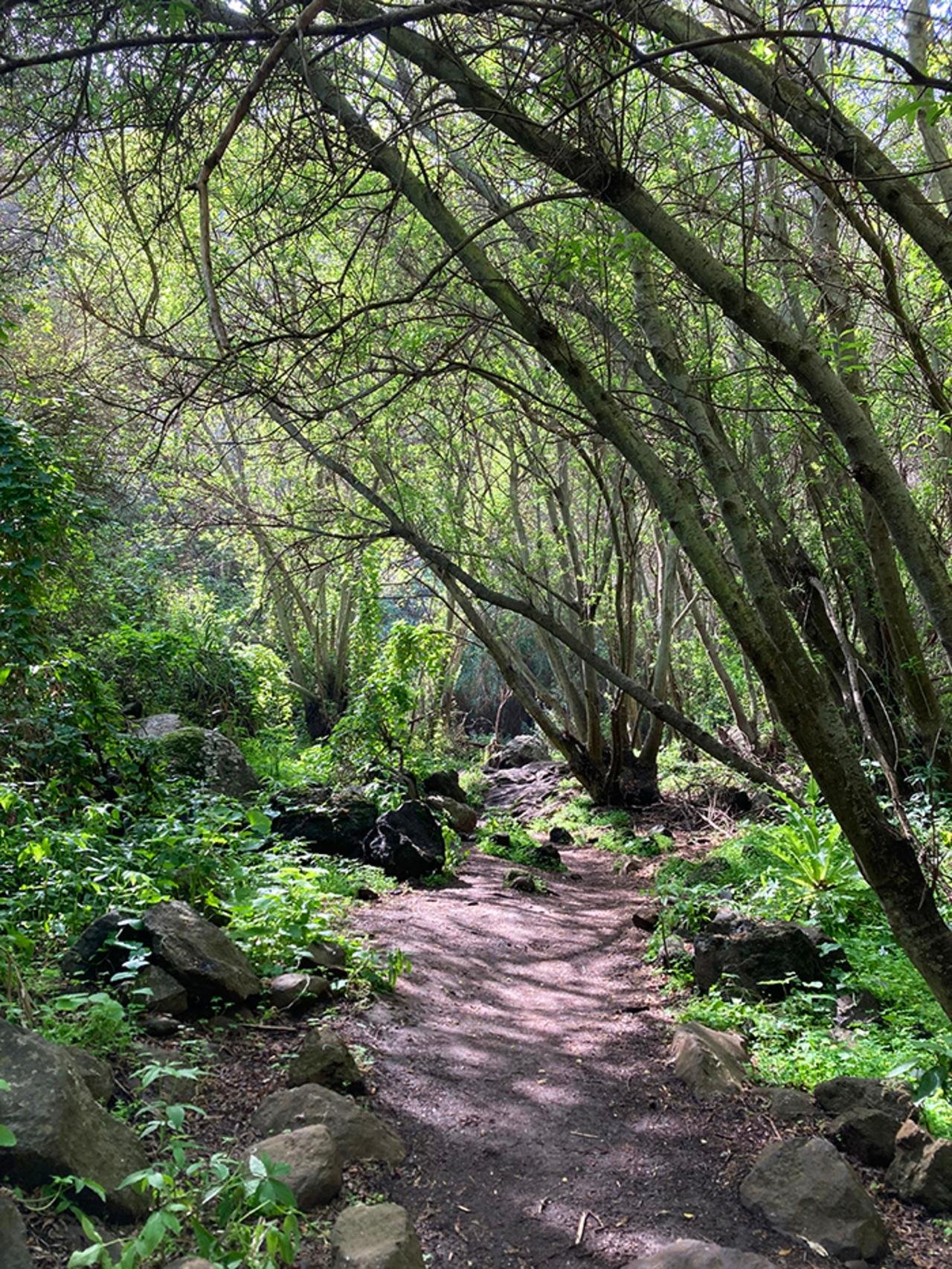
Centuries-old trees rise up to 15 meters high, creating a dense canopy that filters 90 percent of direct sunlight. This provides a cool refuge for nesting birds.
These volcanic hollows measure up to 3 meters deep. They served as historic shelter for agricultural laborers during the nineteenth century.
While both offer a lush Gran Canaria nature excursion, they appeal to completely different adventurers. Most visitors booking a rainforest walk gran canaria tour prefer the easy, signposted paths of Los Tilos, but those seeking rugged ravine exploration favor Azuaje.
| Feature | Top pick Los Tilos de Moya | Barranco de Azuaje |
|---|---|---|
Trail Difficulty |
Easy (mostly flat) | Moderate to challenging (rope scrambles) |
Wet Feet Risk |
Very low (dry paths) | High (stream crossings required) |
Total Distance |
1.8 to 2 kilometers | 3.2 to 9.4 kilometers |
Visitor Facilities |
Interpretation center and restaurant | None (abandoned spa ruins) |
Best For |
Families and casual walkers | Adventurous hikers and scramblers |
Crowd Level |
Moderate (busy on weekends) | Low (fewer hikers on trail) |
| See tickets → |
Verdict: Since both reserves require 0 EUR entry fees, you will not need to buy any rainforest walk gran canaria tickets, leaving you free to choose the gentle laurel forest loop of Moya or hire guides for advanced rainforest walk gran canaria tours through the wild Azuaje gorge.
Choose your ticket, select your date, and reserve in under two minutes. Secure checkout handled by our verified partner.
Instant confirmation by email, with a mobile voucher you can save offline. No printing, no queuing at a collection desk.
Arrive at the entrance, show your voucher on your phone, and walk in. Most tickets include priority or skip-the-line access.
Practical details for your visit straight from our verified partners — hours, access, rules, and how to get there.
Camino los Tiles 15, 35421 Moya, Las Palmas, Spain
This is the official starting point for the circular loop, featuring a small parking area.
Drive north from Las Palmas on the GC-2, take the exit for Moya, and follow the GC-75 and GC-704 directly to the trailhead parking area.
Take bus line 117 from Las Palmas to the town of Moya, then transfer to local line 127 or walk to the ravine entrance.
Wear sturdy hiking shoes or trail runners with good grip, as navigating the rainforest walk gran canaria involves damp paths. Dressing in layers is recommended because temperatures drop under the canopy of the laurisilva cloud forest trek. A light rain jacket is useful during a Moya ravine forest walk.
There is no security checkpoint or bag check at the entrance of this nature reserve. Visitors should carry a lightweight backpack to keep hands free while navigating the terrain.
Photography is permitted throughout the reserve for personal use without any fee. Tripods are allowed on the paths, but drone flight is restricted to protect the nesting endemic bird species.
The main circular loop is not wheelchair accessible due to steps, narrow dirt paths, and exposed tree roots. The nearby interpretation center is accessible, offering flat pathways and displays about the laurel forest.
Mobile reception is generally available along most of the circular trail, though signal strength can drop inside the deeper parts of the ravine. Emergency services can still be reached by dialing 112.
This is an ideal destination for families wanting a rainforest walk gran canaria tour that is easy to complete. The short 1.8-kilometer loop is flat enough for children, though strollers cannot be used on the dirt trail.
No food or drink is sold inside the reserve. You can purchase Canarian meals at the local restaurant located near the trailhead or bring your own snacks and water, ensuring all waste is packed out.
You are welcome to bring dogs on the rainforest walk gran canaria but they must be kept on a lead at all times. This rule protects the sensitive wildlife and endemic bird species in the reserve.
Please respect the environment by staying on the marked paths to prevent soil erosion. There are no trash bins along the trail, so all visitors must carry out whatever they bring in.
Camino los Tiles 15, 35421 Moya, Las Palmas, Spain
This is the official starting point for the circular loop, featuring a small parking area.
Get directionsBest time to go, insider tips, nearby landmarks, and the cancellation fine print — flip through to skim what matters to you.
How crowds, weather, and events shift across the year.
Moderate temperatures and high humidity create lush conditions for exploring the cloud forest, while wild flowers begin to bloom.
Summer provides warmer hiking conditions, though the canopy provides shade. Arriving in the early morning helps avoid the midday heat.
Fewer tourists visit during autumn, offering a quiet experience along the forest paths under mild Canary Island skies.
Winter brings more frequent rain and mist, transforming the ravine into a damp, green cloud forest with active water channels.
Small details that turn a good visit into a great one.
Parking for the rainforest walk gran canaria is limited, so arriving between 09:00 and 12:00 ensures you find a spot.
The northern valleys can experience sudden rain and mist even if the southern beaches are sunny.
The Casa de Los Tilos is free and provides useful botanical guides before you start walking.
The soil is highly prone to erosion and walking off-trail damages the fragile habitat of endemic flora.
Temperatures under the dense laurel canopy are significantly cooler than on the open coast.
There are no shops or vendors inside the nature reserve, so bring your own water and food.
Non-bookable sights within a short walk — free to visit, easy to pair.
A landmark neo-Gothic church built on the edge of a cliff, offering panoramic views of the Moya ravine.
A museum dedicated to the famous Canarian modernist poet, housed in his historic family home in Moya.
An archaeological site featuring hundreds of pre-Hispanic caves used by ancient Canarians as a collective granary.
A nearby deep ravine with lush vegetation, running water, and the ruins of an old nineteenth-century spa.
Flexible, no hidden fees.
As this natural area is completely free to enter, there are no tickets to cancel. If you book a private guided tour through an independent provider, cancellation terms vary, but typically a full refund is available up to 24 hours prior to departure.
Hand-picked options within walking distance — pick a district for vibe, or a specific hotel for convenience.
A quiet rural village situated higher up the mountain, offering traditional Canarian holiday homes and local guesthouses.
Features boutique apartments and homestays within walking distance of local restaurants and historic sights.
The capital city offers major hotels, beach resorts, and urban amenities within driving distance of the forest.
Doramas Forest holds the last remnant of the laurisilva that once blanketed the Canary Islands before the Spanish arrival in 1478. The protected enclave — officially Los Tilos de Moya Natural Monument — shelters 91 hectares of cloud forest anchored by endemic laurel, til, and barbusano trees, some exceeding four centuries in age. Unlike the arid southern coastline visible from the GC-2 motorway, this northern fragment receives orographic rainfall year-round, sustaining a microclimate more reminiscent of Tertiary Europe than modern subtropical terrain. The forest's name derives from the til tree, Ocotea foetens, whose dark-barked trunks form the canopy's structural backbone. Beneath that upper tier, viñátigo and mocán create a secondary layer, while tree heather and Canary laurel fill the understory. Epiphytic ferns cascade from branches, and the forest floor — carpeted in moss and lichen — remains damp even in summer months. The ecosystem represents one of five surviving laurisilva pockets in the archipelago, all of them confined to north-facing slopes between 400 and 800 metres elevation where trade winds condense into persistent mist. Conservation efforts since 1987 have reversed centuries of timber extraction and agricultural encroachment. The Cabildo de Gran Canaria now manages the site as part of a broader EU-funded initiative to restore Macaronesian laurel forests, a habitat classified as priority under the Habitats Directive. Doramas serves as a seed bank for reforestation projects across the island, with botanical surveys cataloguing 19 endemic plant species and nesting populations of Bolle's pigeon and the Canary Islands chiffchaff. Access remains unrestricted, with the primary trailhead located at kilometre marker 11.5 on the GC-704 between Moya and Fontanales. A maintained loop trail descends through the densest laurel stands before ascending ridgelines that offer sightlines north toward the Atlantic and south toward the volcanic interior. The path traverses 3.2 kilometres with 180 metres of cumulative elevation gain, suitable for moderate fitness levels. Signage is minimal, and the trail surface — composed of volcanic tuff and leaf litter — becomes slick after rain. Morning hours offer the clearest air and the highest likelihood of encountering the forest's avian residents before tour groups arrive.
"The ecosystem represents one of five surviving laurisilva pockets in the archipelago, all confined to north-facing slopes where trade winds condense into persistent mist."
A step-by-step walkthrough of the visit — what you'll see, how long each stage takes, and the details that matter.
You arrive at the GC-704 trailhead to find a gravel pull-off and a weathered information panel outlining the loop ahead. The path descends immediately into the canopy, and within twenty metres the temperature drops by several degrees as sunlight fractures through the laurel ceiling. You move slowly, adjusting to the terrain — roots cross the trail at ankle height, and the volcanic soil offers little traction. Ten minutes in, the trail levels onto a ridge where the forest thins and you catch your first unobstructed view north toward the cliffs of Agaete. You pause to photograph the layered canopy before the descent resumes, steeper now, into a ravine where moss blankets every surface and the air smells of damp bark and decomposition. A wooden footbridge spans a dry streambed — it flows only during winter rains — and the trail begins its return ascent. The climb back takes thirty minutes, switchbacking through dense til groves where the trunks stand so close together that you navigate by feel as much as sight. Near the top, the forest opens onto a clearing with stone benches and a second viewpoint, this one facing south toward the island's interior peaks. You rest here before completing the final stretch back to the trailhead, the loop closing after roughly ninety minutes of walking.
No, there is an entrance fee of 0 EUR, meaning there is free entry to the Reserva Natural Especial de Los Tilos de Moya. You do not need to purchase any tickets to walk the public trails.
The reserve is open daily from 00:00 to 23:59, giving you 24-hour access to the trails. However, the visitor center operates on more restricted weekday hours.
Yes, several local operators offer guided hikes through the Los Tilos de Moya forest, which provide deep insights into the local ecosystem.
Limited parking is available on the GC-704 road right next to the Casa de Los Tilos interpretation center. It is best to arrive early to secure a space.
You should wear sturdy hiking shoes with good grip and a light rain jacket. The damp microclimate within the Moya ravine means paths can be slippery.
Yes, the standard 1.8-kilometer circular loop is mostly flat and manageable for children. Strollers are not recommended due to dirt paths and occasional stone steps.
Dogs are permitted in the Los Tilos de Moya reserve, but they must be kept on a lead at all times. This rule protects the sensitive wildlife and endemic bird species.
The standard circular trail takes about 1 hour to complete at a leisurely walking pace. A longer hike extending up towards Fontanales can take 3 to 4 hours.
The best arrival window is between 09:00 and 12:00. This period offers cooler morning temperatures and fewer crowds on the trail.
You can observe unique plants such as the Canary Island bellflower and the endangered Cresta de gallo. The area also hosts endemic birds like the laurel pigeon.